 HKA Texas Humble, Kingwood, Atascocita, Texas Humble, Kingwood, Atascocita, Texas
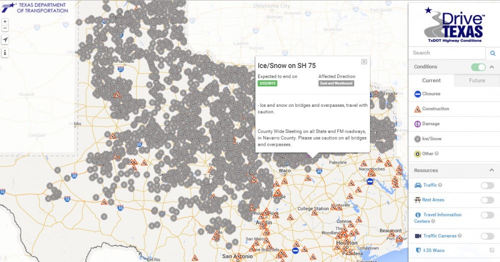

The Texas Department of Transportation (TxDOT) has an online map application called DriveTexas™, that could come in handy tomorrow.
DriveTexas™ displays statewide conditions affecting travel-construction, closures, accidents-as well as a live weather feed that allows drivers to check conditions along their route.
Travelers can plot a course by entering their start and end cities to view highway conditions along their route, and they can also locate TxDOT Safety Rest Areas or Texas Travel Information Centers.
“People are mobile and want traffic and road conditions before and during their trip,” said Margo Richards, TxDOT’s Travel Information Division Director. “DriveTexas™ will make it easier to plan trips, avoid problem areas, and reach destinations quickly and safely. The goal is to make travel as safe as possible.”
Visit www.drivetexas.org for more information.